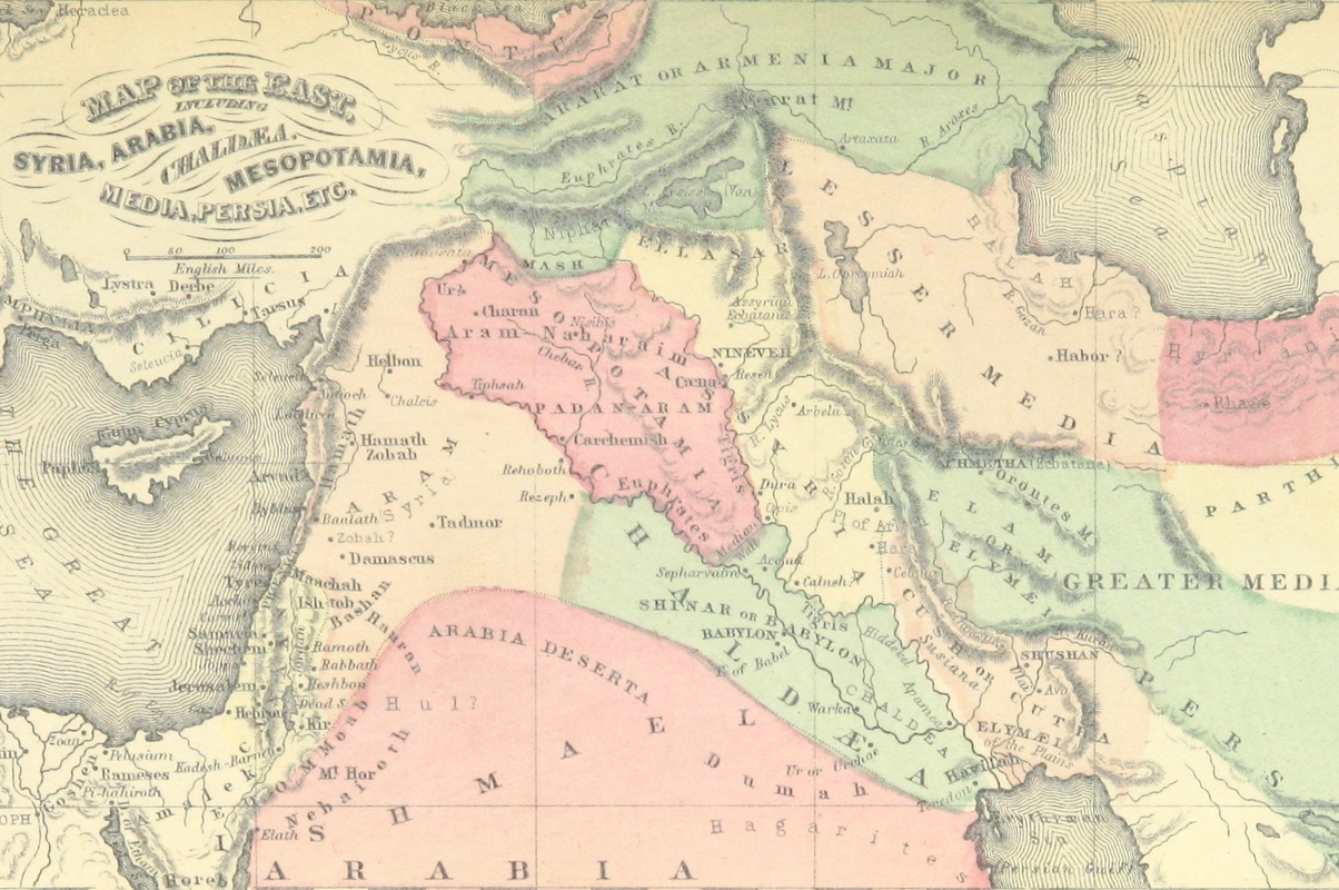
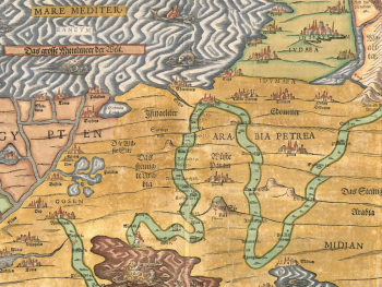
Biblical geography serves as a rich tapestry woven with threads of history, culture, and spirituality. The lands mentioned in the Bible provide the backdrop for the stories of ancient peoples, prophets, and kings, offering insights into the physical landscapes and cultural contexts of the biblical narrative. Through the lens of maps, we can embark on a journey to unlock the secrets of biblical geography, exploring the terrain, cities, and landmarks that shaped the events of the Old and New Testaments. Join us as we delve into the world of biblical maps and uncover the hidden treasures they hold.
- Mapping the Promised Land: One of the central features of biblical geography is the Promised Land, the land of Canaan promised to the descendants of Abraham. Mapping out the boundaries of the Promised Land as described in the Bible allows us to visualize its geographical extent, from the Mediterranean coast to the Jordan River and beyond. By overlaying ancient maps with modern cartography, we can trace the historical and cultural significance of this sacred territory.
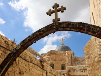
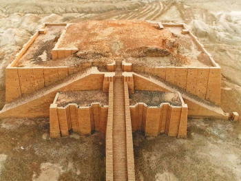
- Cities of the Bible: The cities mentioned in the Bible serve as focal points of biblical geography, each with its own unique history and significance. Mapping out cities such as Jerusalem, Bethlehem, and Jericho allows us to explore their locations, layout, and architectural features. By examining ancient maps and archaeological evidence, we can gain insights into the urban landscapes of biblical times and the role these cities played in the unfolding drama of salvation history.
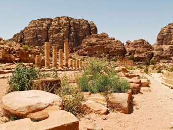
- Landmarks and Landforms: The geography of the Holy Land is characterized by a diverse array of landmarks and landforms, from mountains and valleys to rivers and deserts. Mapping out iconic landmarks such as Mount Sinai, the Jordan River, and the Sea of Galilee allows us to appreciate their geographical significance and spiritual symbolism. By tracing the journeys of biblical figures through these landscapes, we can uncover the deeper meanings embedded in the terrain.
- Trade Routes and Crossroads: The Holy Land served as a crossroads of ancient trade routes, connecting the civilizations of the ancient Near East with the Mediterranean world and beyond. Mapping out these trade routes, such as the Via Maris and the King's Highway, allows us to explore the economic, cultural, and political dynamics of the region. By tracing the paths of merchants, travelers, and conquerors, we gain a deeper understanding of the interconnectedness of ancient societies.
Mapping the secrets of biblical geography offers a window into the world of the Bible, illuminating the landscapes and landmarks that shaped the stories of faith and redemption. By exploring maps of the Holy Land, we can trace the journeys of biblical figures, uncover hidden treasures, and deepen our understanding of the cultural and spiritual contexts of the biblical narrative. As we embark on this journey through maps, we are reminded of the enduring legacy of biblical geography and its significance for believers today.
