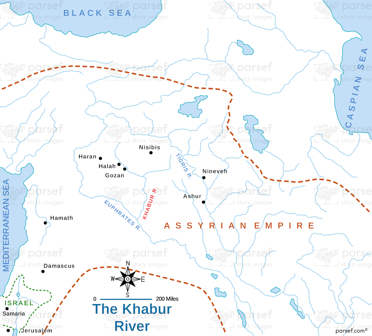
This map focuses on the Khabur River and its surrounding regions, detailing significant archaeological sites and ancient settlements along its course. It provides a historical context for the river's importance in ancient Mesopotamia.
This map focuses on the Khabur River and its surrounding regions, detailing significant archaeological sites and ancient settlements along its course. It provides a historical context for the river's importance in ancient Mesopotamia.
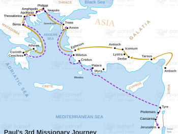
This map illustrates Paul's third missionary journey, highlighting significant locations and events. It provides a detailed look at the regions...
Read More
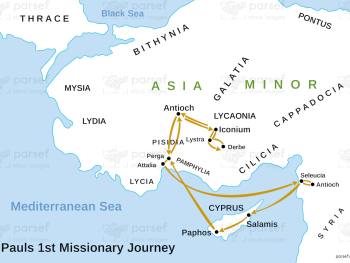
Depicting Paul's first missionary journey, this map highlights key locations and events that marked his initial efforts to spread the...
Read More
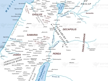
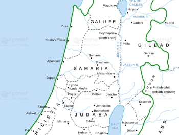
This high-resolution map shows Israel during the 1st century CE, highlighting key locations mentioned in the New Testament. It provides...
Read More
Illustrating Paul's first missionary journey, this map highlights the key locations and events that marked his initial efforts to spread...
Read More
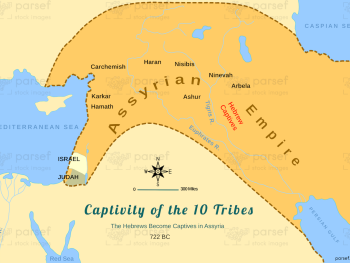
This map illustrates the regions to which the Hebrews were exiled after being captured by the Assyrians. It highlights key...
Read More
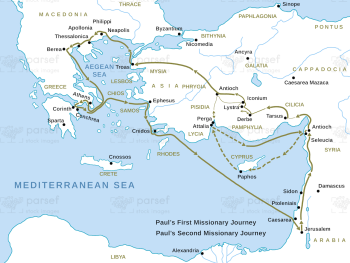
This map traces Paul's first and second missionary journeys as described in the Acts of the Apostles, highlighting significant cities...
Read More
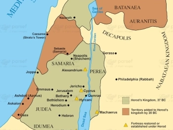
Depicting the kingdom of Herod the Great, this map highlights key cities and regions under his control. It provides a...
Read More
Illustrating the territory controlled by the Maccabees, this map highlights key locations and events during their rule. It provides a...
Read More
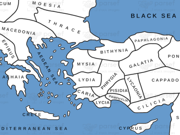
This map shows the regions of Asia Minor during Roman times, highlighting major cities and provinces. It provides a detailed...
Read More
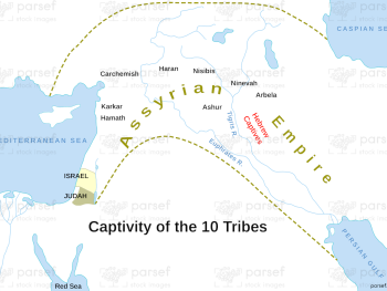
This map depicts the locations to which the ten northern tribes of Israel were exiled by the Assyrians. It provides...
Read More
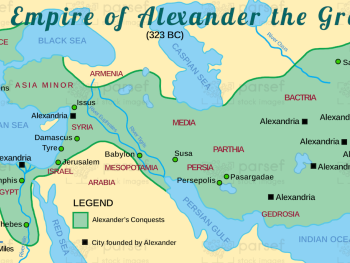
This map illustrates the vast empire established by Alexander the Great, highlighting major cities and regions under his control. It...
Read More
This map illustrates Syria at the peak of its power, highlighting key cities, military campaigns, and territorial extent. It provides...
Read More