
This map depicts the region of ancient Nubia, highlighting key cities and cultural sites. It provides a geographic context for understanding the historical significance of Nubia in relation to ancient Egypt and other neighboring civilizations.
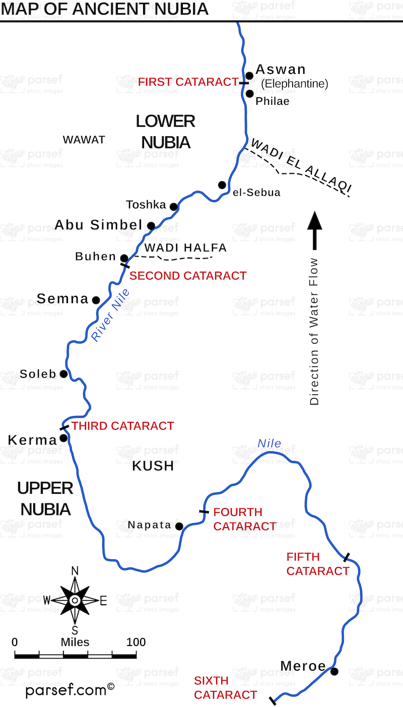
This map depicts the region of ancient Nubia, highlighting key cities and cultural sites. It provides a geographic context for understanding the historical significance of Nubia in relation to ancient Egypt and other neighboring civilizations.
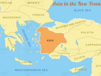
Illustrating the regions of Asia mentioned in the New Testament, this map highlights key cities and events. It provides a...
Read More
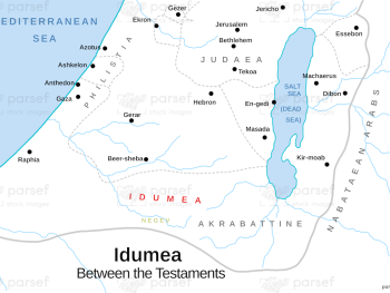
Focused on the region of Idumea, this map highlights key locations and events associated with the Edomites. It provides a...
Read More
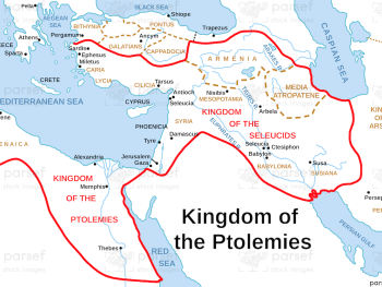
Illustrating the territories controlled by the Ptolemaic dynasty, this map highlights key cities and regions in Egypt and the Levant....
Read More
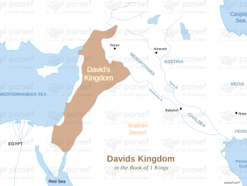
Highlighting the territorial extent of King David's rule, this map shows key cities and regions within his kingdom. It provides...
Read More
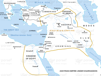
This map shows the Assyrian Empire during Esarhaddon's reign, highlighting major cities and regions under his control. It provides a...
Read More
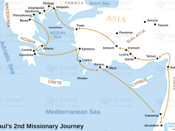
Depicting Paul's second missionary journey, this map highlights key cities and events along his route. It provides a visual guide...
Read More
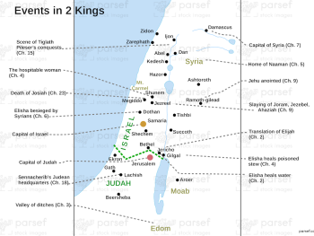
This map highlights significant locations and events from the Book of 2 Kings, showing key cities and regions involved in...
Read More
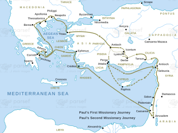
This map traces Paul's first and second missionary journeys as described in the Acts of the Apostles, highlighting significant cities...
Read More
Depicting the Assyrian Empire during Esarhaddon's reign, this map highlights key cities and regions. It provides a geographic context for...
Read More
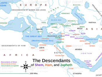
This map traces the lineage and territorial spread of Noah's sons—Shem, Ham, and Japheth—post-flood. It details the regions inhabited by...
Read More
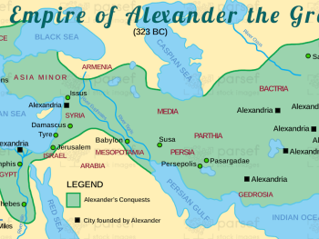
This map illustrates the vast empire established by Alexander the Great, highlighting major cities and regions under his control. It...
Read More
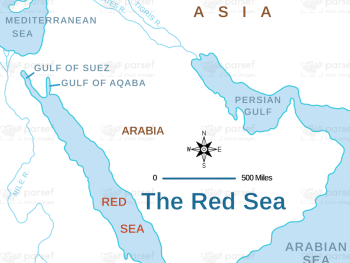
This map focuses on the Red Sea region, detailing significant biblical events, trade routes, and surrounding territories. It offers a...
Read More