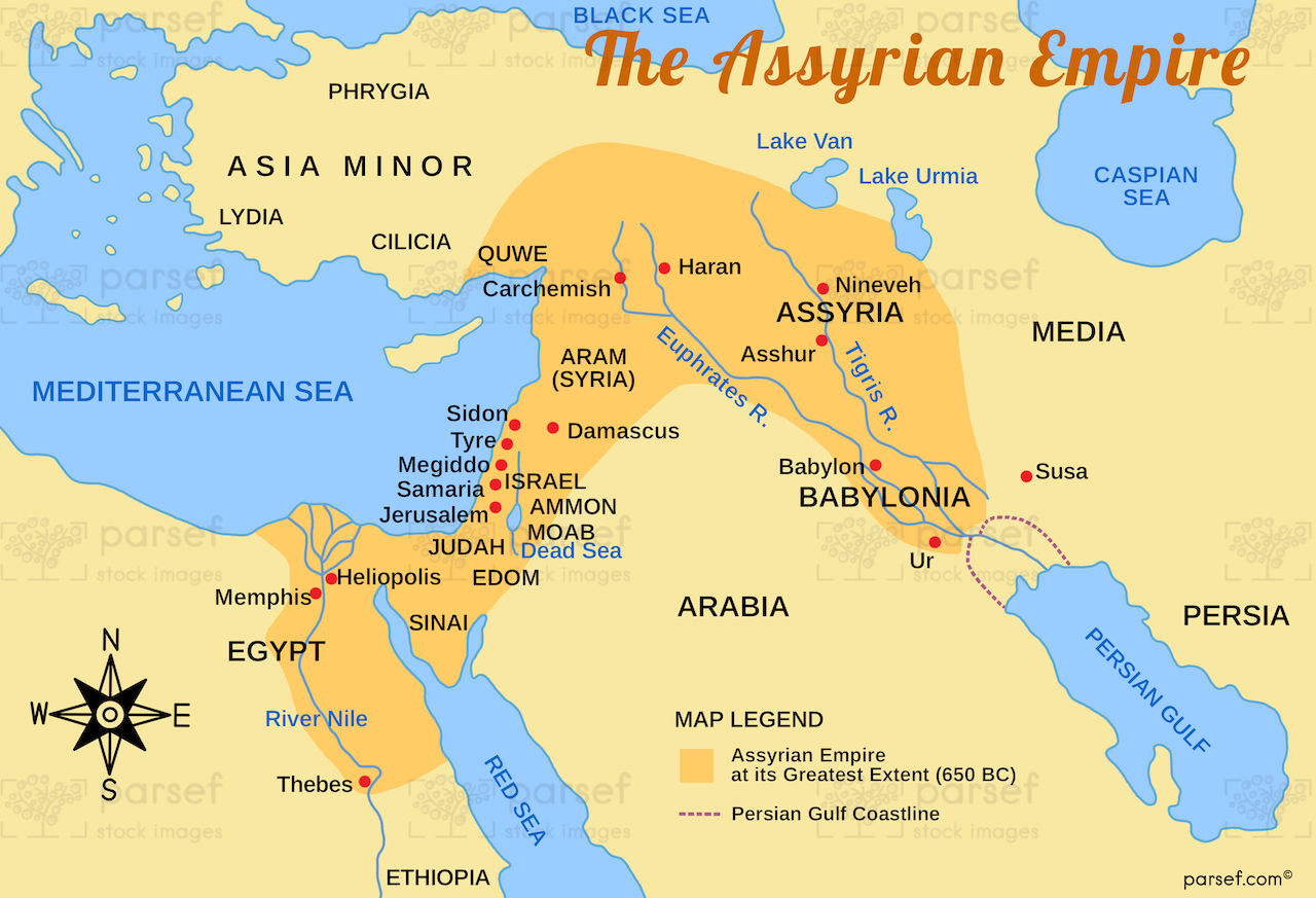
This map illustrates the Assyrian Empire at its height, highlighting major cities, military campaigns, and regions under its control. It provides a comprehensive overview of the empire's expansion and dominance in the ancient Near East.
This map illustrates the Assyrian Empire at its height, highlighting major cities, military campaigns, and regions under its control. It provides a comprehensive overview of the empire's expansion and dominance in the ancient Near East.
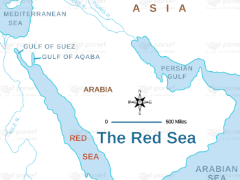
Illustrating the route of the Exodus, this map highlights the crossing of the Red Sea and key locations along the...
Read More
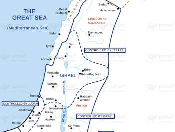
This map illustrates the kingdom of Jeroboam after the division of Israel, highlighting key cities and regions under his rule....
Read More
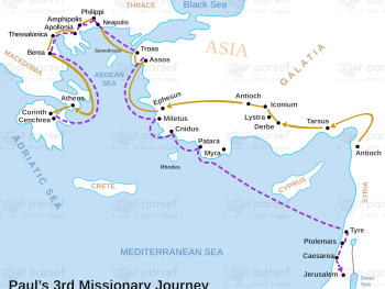
This map illustrates Paul's third missionary journey, highlighting significant locations and events. It provides a detailed look at the regions...
Read More
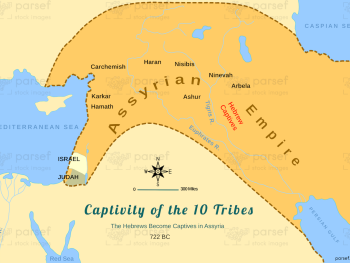
This map illustrates the regions to which the Hebrews were exiled after being captured by the Assyrians. It highlights key...
Read More
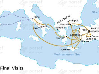
This map outlines Paul's final visits and travels before his imprisonment, highlighting significant locations and events. It provides a visual...
Read More
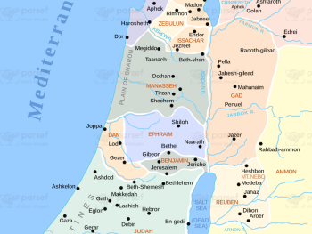
This map shows the division of land among the twelve tribes of Israel, detailing the borders and key locations within...
Read More
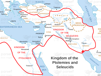
Illustrating the Hellenistic kingdoms of the Ptolemies and Seleucids as described in the Book of Daniel, this map highlights their...
Read More
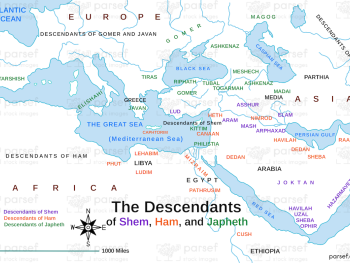
Focused on the distribution of Shem, Ham, and Japheth's descendants, this map illustrates the regions settled by their offspring. It...
Read More
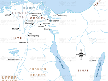
Depicting the Nile River and its significance in the Book of Genesis, this map highlights key locations and events along...
Read More
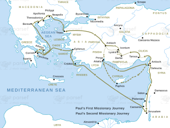
This map traces the routes of Paul's first and second missionary journeys, highlighting significant cities and events. It provides a...
Read More
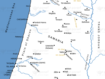
Focusing on the city of Samaria and its surroundings, this map highlights significant locations and events in its history. It...
Read More
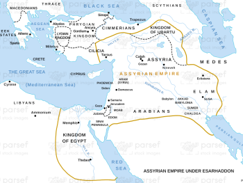
Depicting the Assyrian Empire during Esarhaddon's reign, this map highlights key cities and regions. It provides a geographic context for...
Read More