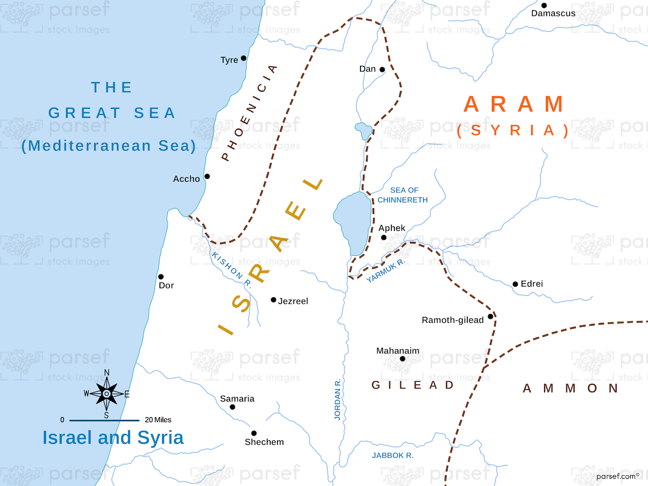
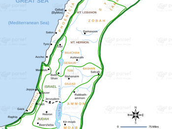
This map shows the regions of Israel and Syria, highlighting key cities and events that shaped their historical relationship. It provides a geographic context for understanding their interactions and conflicts.
This map shows the regions of Israel and Syria, highlighting key cities and events that shaped their historical relationship. It provides a geographic context for understanding their interactions and conflicts.
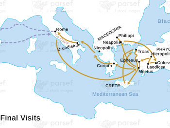
This map outlines Paul's final journeys and visits before his arrest and eventual martyrdom, highlighting key locations and events. It...
Read More
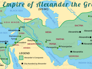
This map illustrates the vast empire established by Alexander the Great, highlighting major cities and regions under his control. It...
Read More
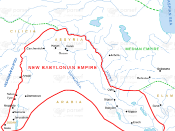
This map depicts the Neo-Babylonian Empire during the time of Daniel, highlighting significant cities and regions. It provides a geographic...
Read More
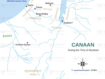
Highlighting the region of Canaan as it was during Abraham's lifetime, this map shows significant cities and territories mentioned in...
Read More
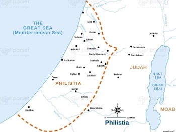
This map focuses on the territory of Philistia, highlighting major cities and regions inhabited by the Philistines. It provides a...
Read More
This map shows the united kingdom of Israel under the reigns of David and Solomon, highlighting its extensive territory and...
Read More
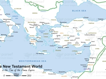
Illustrating the Roman Empire during the New Testament era, this map highlights key locations mentioned in the New Testament. It...
Read More
Illustrating the expansive empire during the reigns of King David and King Solomon, this map showcases the territories under their...
Read More
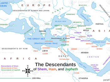
This map traces the lineage and territorial spread of Noah's sons—Shem, Ham, and Japheth—post-flood. It details the regions inhabited by...
Read More
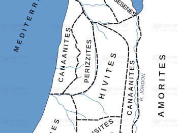
This map illustrates the various Canaanite nations and their territories as described in the Bible. It provides a detailed look...
Read More
Depicting the Roman Empire at the time of Emperor Vespasian, this map highlights key provinces, cities, and trade routes. It...
Read More
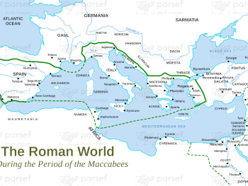
This map depicts the Roman Empire during the time of the Maccabees, highlighting the territories controlled by the Romans and...
Read More