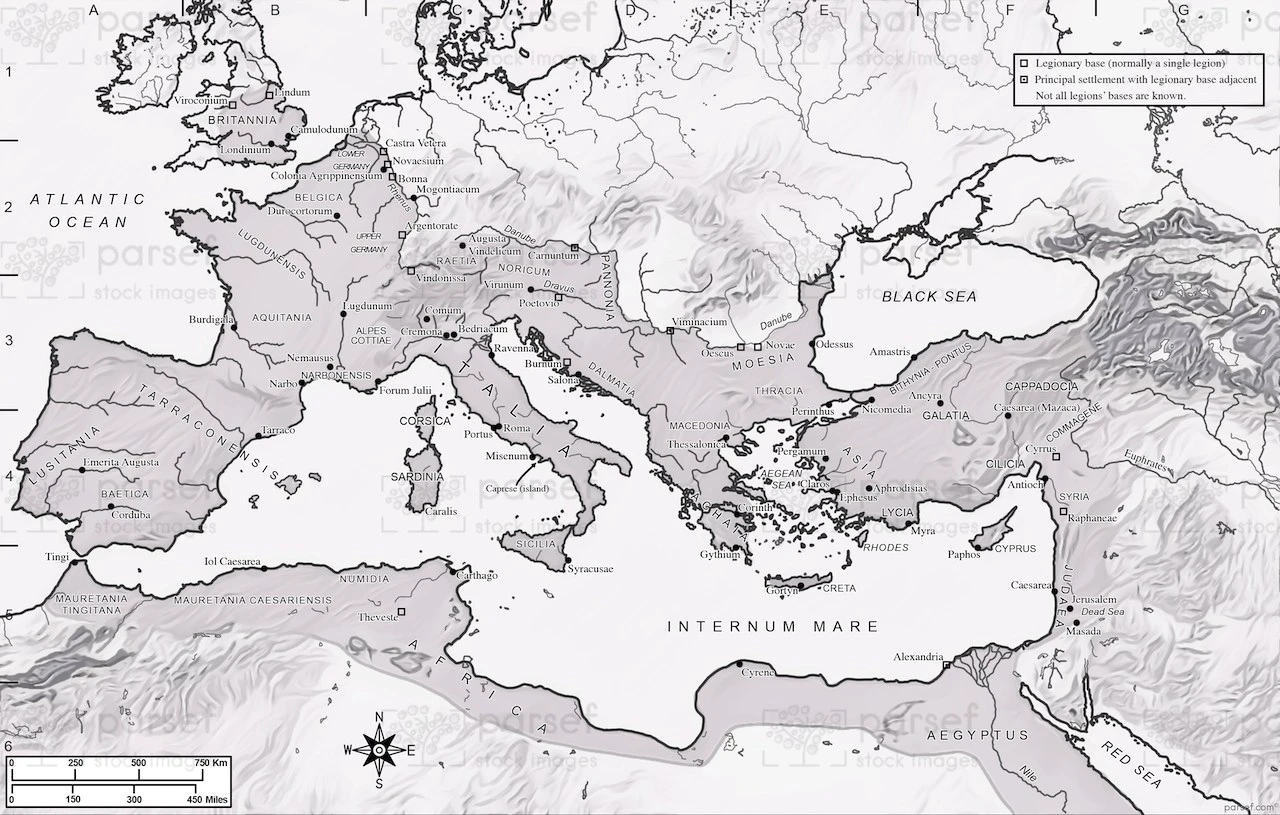
Depicting the Roman Empire at the time of Emperor Vespasian, this map highlights key provinces, cities, and trade routes. It offers a comprehensive overview of the empire's extent and organization.

Depicting the Roman Empire at the time of Emperor Vespasian, this map highlights key provinces, cities, and trade routes. It offers a comprehensive overview of the empire's extent and organization.
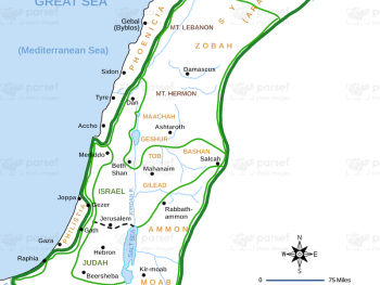
This map shows the extent of David and Solomon's empire as described in 1 Chronicles, highlighting significant regions and cities....
Read More
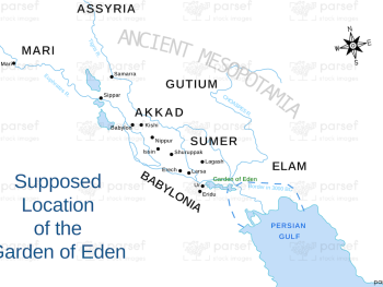
Illustrating the possible location of the Garden of Eden, this map highlights significant geographical features and regions mentioned in the...
Read More
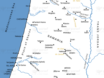
Focusing on the city of Samaria and its surroundings, this map highlights significant locations and events in its history. It...
Read More
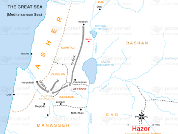
Illustrating the city of Hazor during the time of the Judges, this map highlights key events and battles associated with...
Read More
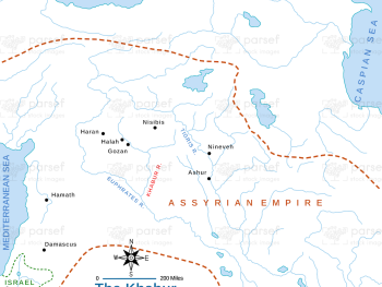
This map focuses on the Khabur River and its surrounding regions, detailing significant archaeological sites and ancient settlements along its...
Read More
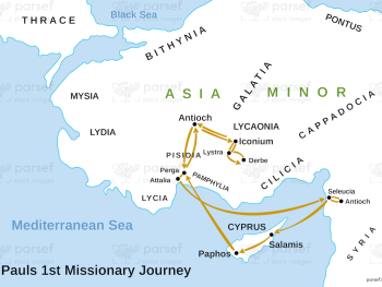
Depicting Paul's first missionary journey, this map highlights key locations and events that marked his initial efforts to spread the...
Read More
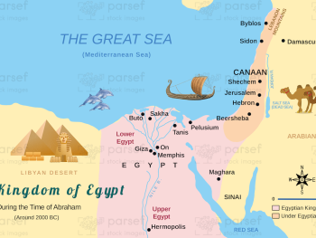
Illustrating Egypt during the period of Abraham, this map highlights key locations and events mentioned in Genesis. It provides a...
Read More
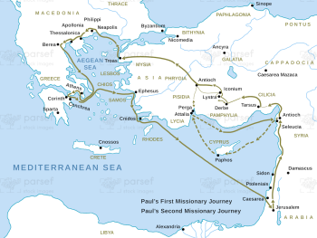
This map traces the routes of Paul's first and second missionary journeys, highlighting significant cities and events. It provides a...
Read More
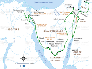
This map illustrates the route taken by the Israelites during the Exodus, highlighting key locations and events. It provides a...
Read More
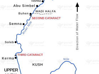
This map depicts the region of ancient Nubia, highlighting key cities and cultural sites. It provides a geographic context for...
Read More
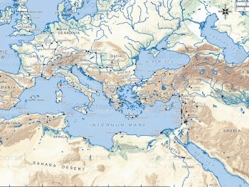
This map shows the full scope of the ancient Mediterranean world, highlighting major civilizations, trade routes, and cultural hubs. It...
Read More
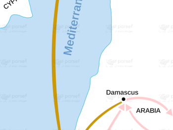
Depicting Saul’s transformative journey to Damascus and subsequent travels in Arabia, this map outlines the key locations and routes he...
Read More