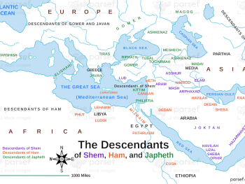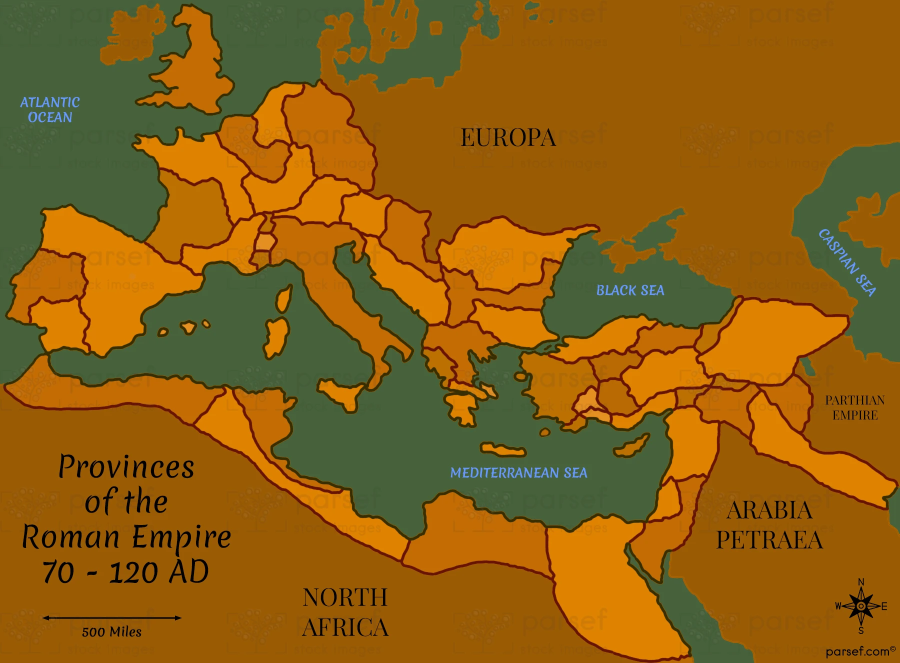
This map illustrates the provinces of the Roman Empire between 70 and 120 AD, highlighting major cities and administrative divisions. It provides a detailed look at the organization and extent of Roman rule.
Download High Resolution 300 DPI File Provinces of the Roman Empire 70 – 120 AD Map