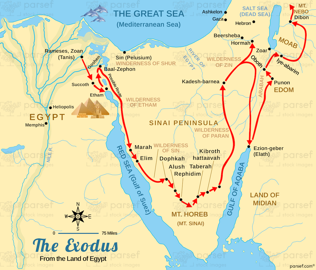
Depicting the route of the Israelites' Exodus from Egypt, this map highlights major stops and events along their journey. It provides a visual representation of their path to the Promised Land.

Depicting the route of the Israelites' Exodus from Egypt, this map highlights major stops and events along their journey. It provides a visual representation of their path to the Promised Land.
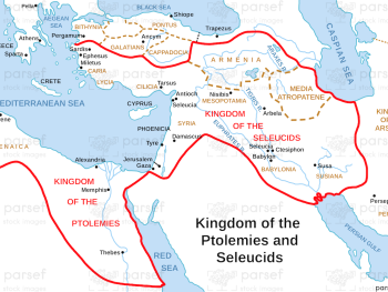
Illustrating the Hellenistic kingdoms of the Ptolemies and Seleucids as described in the Book of Daniel, this map highlights their...
Read More
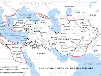
This map showcases the overlapping and successive empires of Babylon, Media, and Persia, highlighting their major cities and regions. It...
Read More
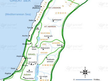
Illustrating the expansive empire during the reigns of King David and King Solomon, this map showcases the territories under their...
Read More
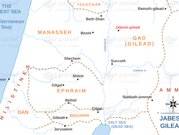
This map focuses on the city of Jabesh Gilead, highlighting its significance in biblical history and key events. It provides...
Read More
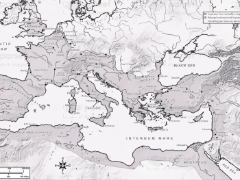
Depicting the Roman Empire at the time of Emperor Vespasian, this map highlights key provinces, cities, and trade routes. It...
Read More
This map depicts the land of Israel as described in the Book of Genesis, highlighting significant locations and journeys of...
Read More
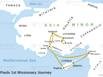
Depicting Paul's first missionary journey, this map highlights key locations and events that marked his initial efforts to spread the...
Read More
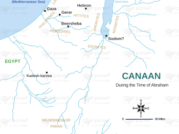
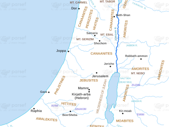
Highlighting the region of Canaan as it was during Abraham's lifetime, this map shows significant cities and territories mentioned in...
Read More
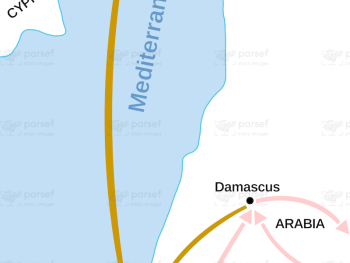
Depicting Saul’s transformative journey to Damascus and subsequent travels in Arabia, this map outlines the key locations and routes he...
Read More
This map shows the united monarchy of Israel under David and Solomon as referenced in Ecclesiastes, highlighting major cities and...
Read More
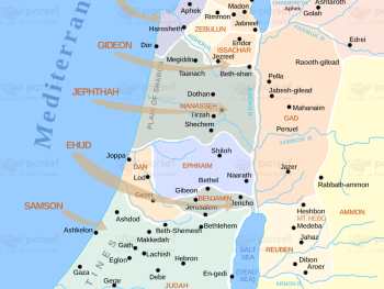
This map shows the territories allocated to the twelve tribes of Israel, with a focus on the topographical features of...
Read More
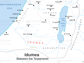
Focused on the region of Idumea, this map highlights key locations and events associated with the Edomites. It provides a...
Read More