
This map illustrates the route taken by the Israelites during the Exodus, highlighting key locations and events. It provides a visual guide to the journey from Egypt to the Promised Land as described in the Bible.
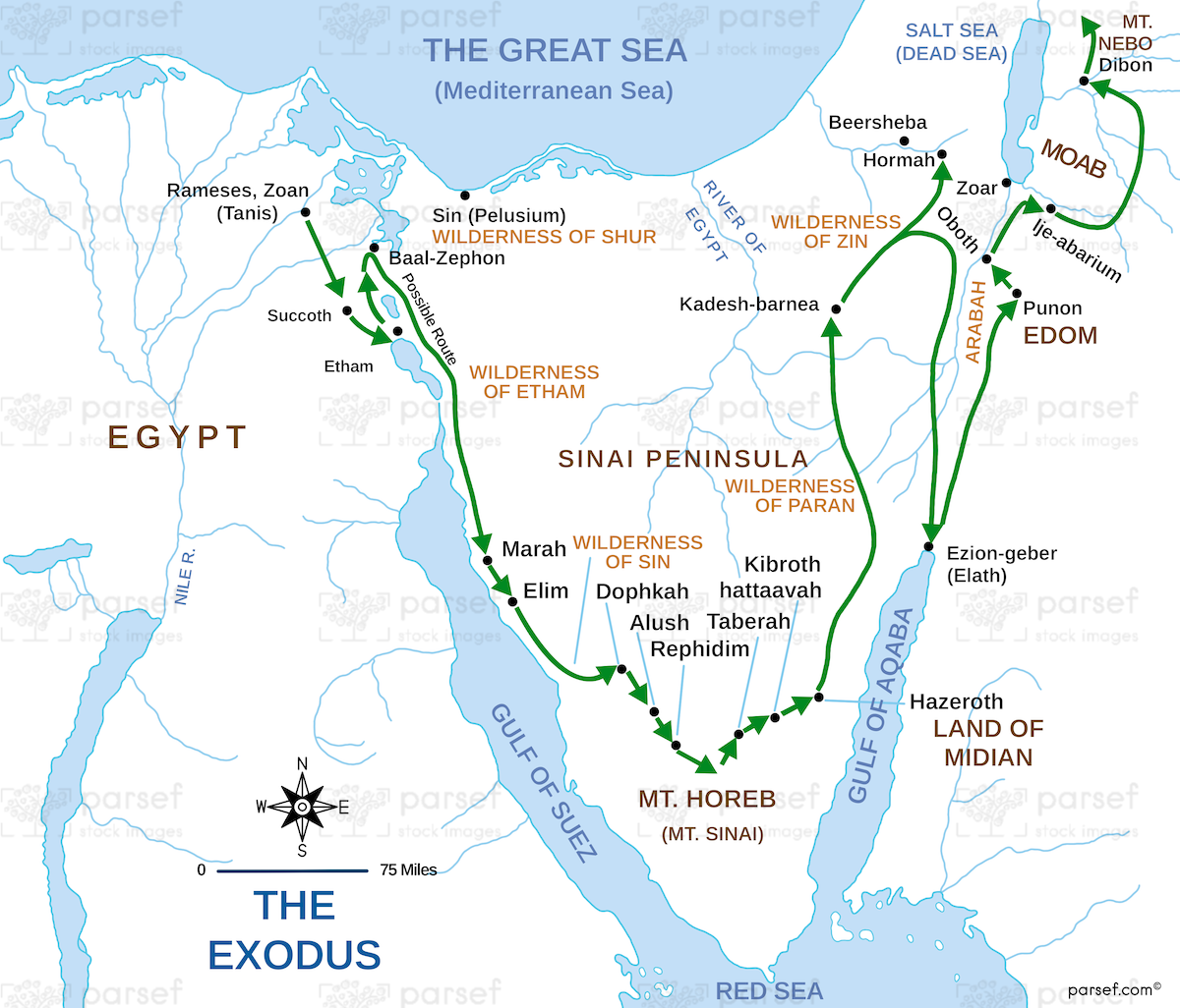
This map illustrates the route taken by the Israelites during the Exodus, highlighting key locations and events. It provides a visual guide to the journey from Egypt to the Promised Land as described in the Bible.
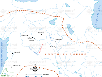
This map focuses on the Khabur River and its surrounding regions, detailing significant archaeological sites and ancient settlements along its...
Read More
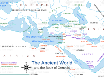
Depicting the world as described in the Book of Genesis, this map highlights significant locations and regions. It provides a...
Read More
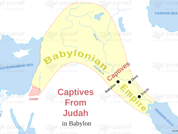
Illustrating the locations where the Judean captives were taken in Babylon, this map highlights key sites of exile. It provides...
Read More
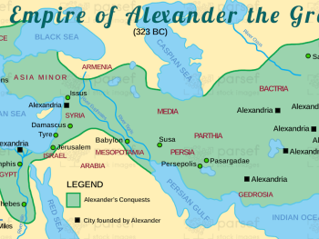
This map illustrates the vast empire established by Alexander the Great, highlighting major cities and regions under his control. It...
Read More
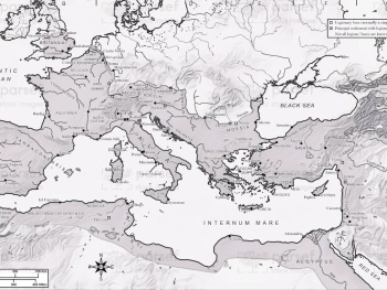
Depicting the Roman Empire at the time of Emperor Vespasian, this map highlights key provinces, cities, and trade routes. It...
Read More
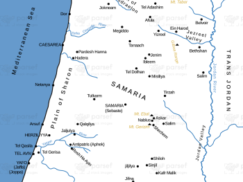
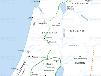
Focusing on the city of Samaria and its surroundings, this map highlights significant locations and events in its history. It...
Read More
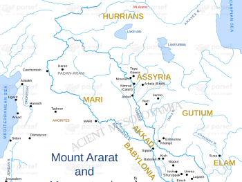
Illustrating the location of Mount Ararat and the surrounding Mesopotamian region, this map highlights significant biblical events, including Noah's Ark....
Read More
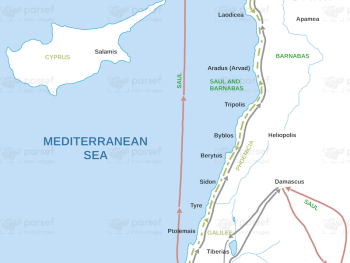
Illustrating the travels of the apostles after Jesus' ascension, this map highlights key locations and missionary journeys. It offers a...
Read More
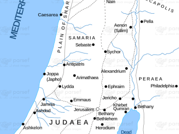
Depicting Israel during the New Testament period, this map highlights significant locations and events mentioned in the Gospels and Acts....
Read More
Illustrating Ezra's journey from Babylon to Jerusalem, this map highlights key locations and events along the way. It provides a...
Read More
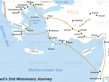
Depicting Paul's second missionary journey, this map highlights key cities and events along his route. It provides a visual guide...
Read More
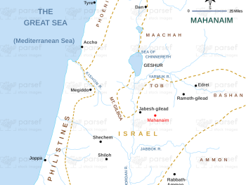
Focused on the city of Mahanaim, this map highlights its location and significance in biblical history, particularly during the reign...
Read More